
Las Empanadas topographic map
Interactive map
Click on the map to display elevation.
About this map
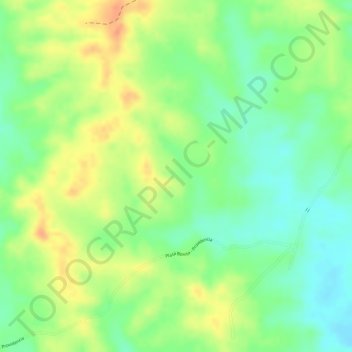
Name: Las Empanadas topographic map, elevation, terrain.
Location: Las Empanadas, PROVIDENCIA, Planeta Rica, Córdoba, Colombia (8.34549 -75.46716 8.36549 -75.44716)
Average elevation: 65 m
Minimum elevation: 42 m
Maximum elevation: 89 m