
Wilga topographic map
Interactive map
Click on the map to display elevation.
About this map
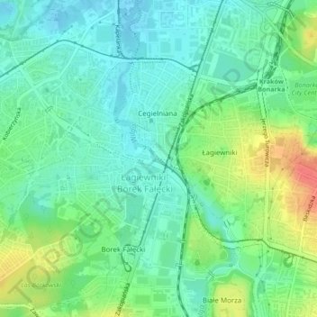
Name: Wilga topographic map, elevation, terrain.
Location: Wilga, Krakow, Lesser Poland Voivodeship, 30-419, Poland (50.02150 19.93035 50.02254 19.93210)
Average elevation: 222 m
Minimum elevation: 204 m
Maximum elevation: 259 m