
Aurville topographic map
Interactive map
Click on the map to display elevation.
About this map
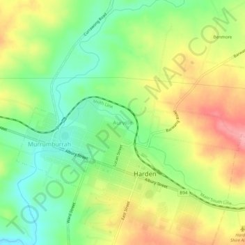
Name: Aurville topographic map, elevation, terrain.
Average elevation: 412 m
Minimum elevation: 362 m
Maximum elevation: 473 m
Other topographic maps
Click on a map to view its topography, its elevation and its terrain.
Harden
Australia > New South Wales > Harden
Harden, Hilltops Council, New South Wales, 2587, Australia
Average elevation: 425 m