
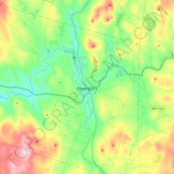
Newport topographic map
Interactive map
Click on the map to display elevation.
About this map
Name: Newport topographic map, elevation, terrain.
Average elevation: 339 m
Minimum elevation: 187 m
Maximum elevation: 600 m
Newport is drained by the Sugar River and its South Branch, with the town center at their confluence. The North Branch joins the Sugar River north of Newport village and east of North Newport. The highest point in town is along its southern border, where an unnamed ridge has an elevation of approximately 1,920 feet (590 m) above sea level.