
Red Head topographic map
Interactive map
Click on the map to display elevation.
About this map
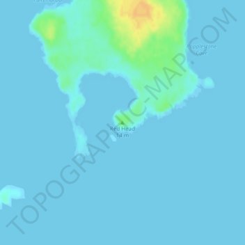
Name: Red Head topographic map, elevation, terrain.
Location: Red Head, Beals, Washington County, Maine, United States (44.45142 -67.58088 44.45152 -67.58078)
Average elevation: 3 m
Minimum elevation: -1 m
Maximum elevation: 27 m