
Lakefield topographic map
Interactive map
Click on the map to display elevation.
About this map
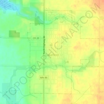
Name: Lakefield topographic map, elevation, terrain.
Location: Lakefield, Jackson County, Minnesota, United States (43.66733 -95.18053 43.68905 -95.15469)
Average elevation: 450 m
Minimum elevation: 429 m
Maximum elevation: 465 m