
Mayrhofen topographic map
Interactive map
Click on the map to display elevation.
About this map
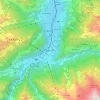
Name: Mayrhofen topographic map, elevation, terrain.
Location: Mayrhofen, Bezirk Schwaz, Tyrol, 6290, Austria (47.12722 11.82387 47.20722 11.90387)
Average elevation: 1,314 m
Minimum elevation: 584 m
Maximum elevation: 2,939 m