
Jargalant topographic map
Interactive map
Click on the map to display elevation.
About this map
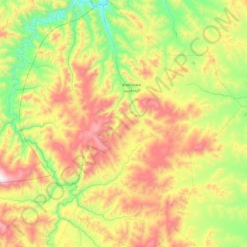
Name: Jargalant topographic map, elevation, terrain.
Location: Jargalant, Arkhangai, Mongolia (48.33143 100.35866 48.93991 101.18892)
Average elevation: 1,861 m
Minimum elevation: 1,284 m
Maximum elevation: 2,865 m
Other topographic maps
Click on a map to view its topography, its elevation and its terrain.