
Hay River topographic map
Interactive map
Click on the map to display elevation.
About this map
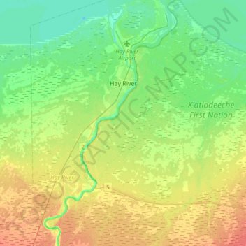
Name: Hay River topographic map, elevation, terrain.
Location: Hay River, Northwest Territories, X0E 0R8, Canada (60.71721 -115.91538 60.86531 -115.72929)
Average elevation: 168 m
Minimum elevation: 152 m
Maximum elevation: 191 m