
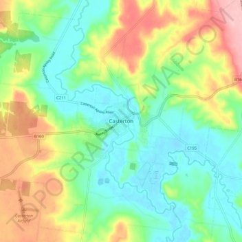
Casterton topographic map
Interactive map
Click on the map to display elevation.
About this map
Name: Casterton topographic map, elevation, terrain.
Location: Casterton, Shire of Glenelg, Victoria, 3311, Australia (-37.62529 141.36378 -37.54529 141.44378)
Average elevation: 95 m
Minimum elevation: 39 m
Maximum elevation: 196 m
Victoria trails, hiking, mountain biking, running and outdoor activities