
Kłodzko County topographic map
Interactive map
Click on the map to display elevation.
About this map
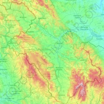
Name: Kłodzko County topographic map, elevation, terrain.
Location: Kłodzko County, Lower Silesian Voivodeship, Poland (50.09633 16.19558 50.68110 17.02831)
Average elevation: 509 m
Minimum elevation: 184 m
Maximum elevation: 1,422 m
Other topographic maps
Click on a map to view its topography, its elevation and its terrain.