
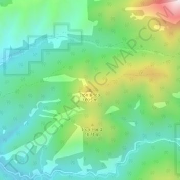
Iron Knob topographic map
Interactive map
Click on the map to display elevation.
About this map
Name: Iron Knob topographic map, elevation, terrain.
Average elevation: 861 m
Minimum elevation: 637 m
Maximum elevation: 1,389 m
Other topographic maps
Click on a map to view its topography, its elevation and its terrain.
Lake County
United States of America > Oregon
Lake County ranges in elevation from 4,130 to 8,446 feet (1,259 to 2,574 m). The highest point in Lake County is Crane Mountain. The mountain is located 6 miles (9.7 km) north of the California border. Lake County has six other peaks with elevations above 8,000 feet (2,400 m), all located in the southern half…
Average elevation: 1,540 m