
Iron Knob topographic map
Interactive map
Click on the map to display elevation.
About this map
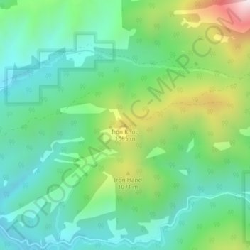
Name: Iron Knob topographic map, elevation, terrain.
Average elevation: 861 m
Minimum elevation: 637 m
Maximum elevation: 1,389 m
Other topographic maps
Click on a map to view its topography, its elevation and its terrain.
McKenzie River
United States of America > Oregon
The McKenzie River drains a region of about 1,300 square miles (3,400 km2) and is one of the primary tributaries of the Willamette River. Elevations in the watershed range from 10,358 feet (3,157 m) at the summit of the South Sister to 375 feet (114 m) at the McKenzie's mouth on the Willamette River north of…
Average elevation: 431 m
Lake County
United States of America > Oregon
Lake County ranges in elevation from 4,130 to 8,446 feet (1,259 to 2,574 m). The highest point in Lake County is Crane Mountain. The mountain is located 6 miles (9.7 km) north of the California border. Lake County has six other peaks with elevations above 8,000 feet (2,400 m), all located in the southern half…
Average elevation: 1,540 m