
Pineville topographic map
Interactive map
Click on the map to display elevation.
About this map
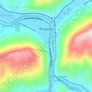
Name: Pineville topographic map, elevation, terrain.
Location: Pineville, Bell County, Kentucky, United States of America (36.74448 -83.71508 36.76930 -83.68031)
Average elevation: 426 m
Minimum elevation: 301 m
Maximum elevation: 696 m