
Mount Wilson topographic map
Interactive map
Click on the map to display elevation.
About this map
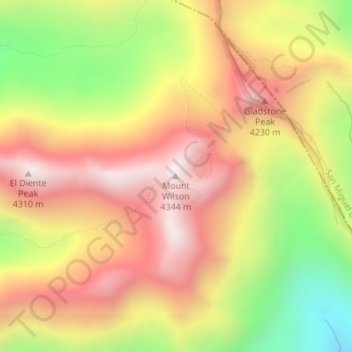
Name: Mount Wilson topographic map, elevation, terrain.
Location: Mount Wilson, Dolores County, Colorado, United States (37.83916 -107.99168 37.83926 -107.99158)
Average elevation: 3,892 m
Minimum elevation: 3,378 m
Maximum elevation: 4,291 m
Other topographic maps
Click on a map to view its topography, its elevation and its terrain.