
Dehua topographic map
Interactive map
Click on the map to display elevation.
About this map
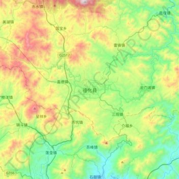
Name: Dehua topographic map, elevation, terrain.
Location: Dehua, Quanzhou, Dehua County, Fujian, China (25.33455 118.07623 25.65455 118.39623)
Average elevation: 648 m
Minimum elevation: 126 m
Maximum elevation: 1,691 m