
Wulwunj topographic map
Interactive map
Click on the map to display elevation.
About this map
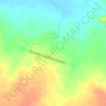
Name: Wulwunj topographic map, elevation, terrain.
Location: Wulwunj, Northern Territory, Australia (-12.10676 132.88040 -12.08676 132.90040)
Average elevation: 33 m
Minimum elevation: 8 m
Maximum elevation: 57 m
Northern Territory trails, hiking, mountain biking, running and outdoor activities
Other topographic maps
Click on a map to view its topography, its elevation and its terrain.