
Gordon topographic map
Interactive map
Click on the map to display elevation.
About this map
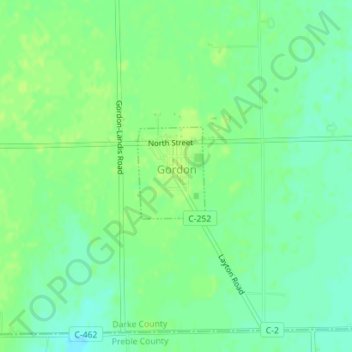
Name: Gordon topographic map, elevation, terrain.
Location: Gordon, Darke County, Ohio, United States of America (39.92624 -84.51249 39.93383 -84.50568)
Average elevation: 317 m
Minimum elevation: 309 m
Maximum elevation: 321 m