
Springhill topographic map
Interactive map
Click on the map to display elevation.
About this map
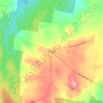
Name: Springhill topographic map, elevation, terrain.
Location: Springhill, Shire of Hepburn, Victoria, Australia (-37.32252 144.31055 -37.28252 144.35055)
Average elevation: 616 m
Minimum elevation: 527 m
Maximum elevation: 700 m