
Lang Lang topographic map
Interactive map
Click on the map to display elevation.
About this map
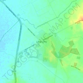
Name: Lang Lang topographic map, elevation, terrain.
Location: Lang Lang, Shire of Cardinia, Victoria, Australia (-38.28604 145.54278 -38.24604 145.58278)
Average elevation: 13 m
Minimum elevation: 3 m
Maximum elevation: 36 m
Victoria trails, hiking, mountain biking, running and outdoor activities