
Aïn Tarek topographic map
Interactive map
Click on the map to display elevation.
About this map
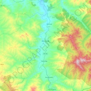
Name: Aïn Tarek topographic map, elevation, terrain.
Location: Aïn Tarek, Aïn Tarek District, Relizane, Algeria (35.70392 1.05670 35.84004 1.28793)
Average elevation: 411 m
Minimum elevation: 133 m
Maximum elevation: 980 m