
Woodlawn topographic map
Interactive map
Click on the map to display elevation.
About this map
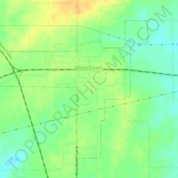
Name: Woodlawn topographic map, elevation, terrain.
Location: Woodlawn, Jefferson County, Illinois, United States (38.31627 -89.05027 38.33712 -89.02122)
Average elevation: 149 m
Minimum elevation: 134 m
Maximum elevation: 164 m
Other topographic maps
Click on a map to view its topography, its elevation and its terrain.
Mount Vernon
United States > Illinois > Jefferson County
Mount Vernon, Jefferson County, Illinois, 62864, United States
Average elevation: 147 m