
Sidi Mezghiche topographic map
Interactive map
Click on the map to display elevation.
About this map
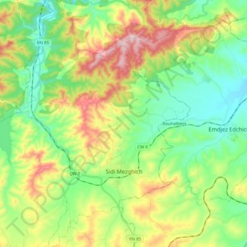
Name: Sidi Mezghiche topographic map, elevation, terrain.
Location: Sidi Mezghiche, Sidi Mezghiche District, Skikda, Algeria (36.63059 6.63672 36.78580 6.77384)
Average elevation: 231 m
Minimum elevation: 55 m
Maximum elevation: 559 m