
Nallūr topographic map
Interactive map
Click on the map to display elevation.
About this map
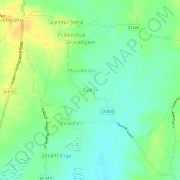
Name: Nallūr topographic map, elevation, terrain.
Location: Nallūr, Arcot, Ranipet disrtict, Tamil Nadu, 632506, India (12.73325 79.41214 12.77325 79.45214)
Average elevation: 123 m
Minimum elevation: 111 m
Maximum elevation: 138 m