
Channagiri topographic map
Interactive map
Click on the map to display elevation.
Channagiri
Channagiri is located at 14°02′N 75°56′E / 14.03°N 75.93°E / 14.03; 75.93. It has an average elevation of 662 metres (2171 feet).
About this map
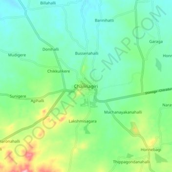
Name: Channagiri topographic map, elevation, terrain.
Average elevation: 679 m
Minimum elevation: 632 m
Maximum elevation: 801 m