
Alvord topographic map
Interactive map
Click on the map to display elevation.
About this map
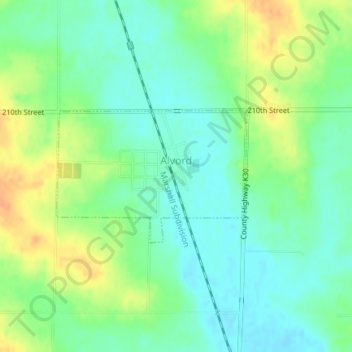
Name: Alvord topographic map, elevation, terrain.
Location: Alvord, Lyon County, Iowa, United States of America (43.33581 -96.31377 43.34601 -96.29363)
Average elevation: 413 m
Minimum elevation: 398 m
Maximum elevation: 435 m