
Parkerville topographic map
Interactive map
Click on the map to display elevation.
About this map
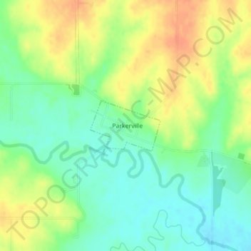
Name: Parkerville topographic map, elevation, terrain.
Location: Parkerville, Morris County, Kansas, United States (38.76114 -96.66653 38.76667 -96.65684)
Average elevation: 422 m
Minimum elevation: 404 m
Maximum elevation: 443 m