
Rockland topographic map
Interactive map
Click on the map to display elevation.
About this map
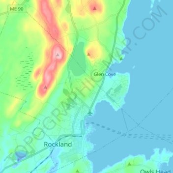
Name: Rockland topographic map, elevation, terrain.
Location: Rockland, Knox County, Maine, 04841, United States (44.08187 -69.18529 44.17260 -69.06950)
Average elevation: 37 m
Minimum elevation: -34 m
Maximum elevation: 197 m
Other topographic maps
Click on a map to view its topography, its elevation and its terrain.