
Montville Township topographic map
Interactive map
Click on the map to display elevation.
About this map
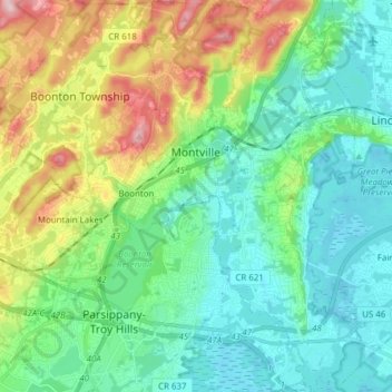
Name: Montville Township topographic map, elevation, terrain.
Location: Montville Township, Morris County, New Jersey, United States (40.84380 -74.40436 40.95983 -74.31739)
Average elevation: 115 m
Minimum elevation: 47 m
Maximum elevation: 295 m