
Thank you for supporting this site ❤️
Make a donation
Make a donation
Gear up for your next adventure:
As an Amazon Associate, this site earns from qualifying purchases at no extra cost to you.
Ragouba topographic map
Click on the map to display elevation.
Thank you for supporting this site ❤️
Make a donation
Make a donation
Gear up for your next adventure:
As an Amazon Associate, this site earns from qualifying purchases at no extra cost to you.
About this map
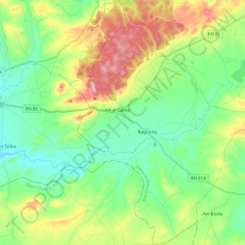
Name: Ragouba topographic map, elevation, terrain.
Location: Ragouba, M'Daourouch District, Souk Ahras, 41002, Algeria (36.04306 7.63089 36.19285 7.77795)
Average elevation: 907 m
Minimum elevation: 791 m
Maximum elevation: 1,147 m
Thank you for supporting this site ❤️
Make a donation
Make a donation
Gear up for your next adventure:
As an Amazon Associate, this site earns from qualifying purchases at no extra cost to you.