
Calder topographic map
Interactive map
Click on the map to display elevation.
About this map
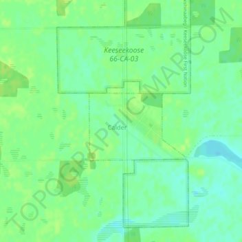
Name: Calder topographic map, elevation, terrain.
Location: Calder, Census Division No. 9, Saskatchewan, Canada (51.15450 -101.75689 51.16186 -101.74054)
Average elevation: 529 m
Minimum elevation: 522 m
Maximum elevation: 534 m