
Clontarf topographic map
Interactive map
Click on the map to display elevation.
About this map
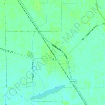
Name: Clontarf topographic map, elevation, terrain.
Location: Clontarf, Swift County, Minnesota, 56226, United States (45.36539 -95.69557 45.39067 -95.65980)
Average elevation: 318 m
Minimum elevation: 313 m
Maximum elevation: 322 m