
Bolquère topographic map
Interactive map
Click on the map to display elevation.
About this map
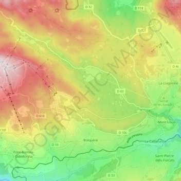
Name: Bolquère topographic map, elevation, terrain.
Average elevation: 1,712 m
Minimum elevation: 1,349 m
Maximum elevation: 2,130 m
Bolquère railway station is the highest station on the SNCF network at an elevation of 1593m . It serves the Yellow Train exclusively.