
Manyana topographic map
Interactive map
Click on the map to display elevation.
About this map
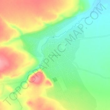
Name: Manyana topographic map, elevation, terrain.
Location: Manyana, Southern District, Botswana (-24.79512 25.57222 -24.75512 25.61222)
Average elevation: 1,155 m
Minimum elevation: 1,111 m
Maximum elevation: 1,211 m
Other topographic maps
Click on a map to view its topography, its elevation and its terrain.
Sheep Farm
Sheep Farm, Southern District, Botswana
Average elevation: 1,281 m