
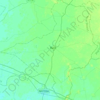
Bass topographic map
Interactive map
Click on the map to display elevation.
About this map
Name: Bass topographic map, elevation, terrain.
Location: Bass, Hisar, Haryana, 125042, India (28.98872 76.05803 29.22239 76.31803)
Average elevation: 221 m
Minimum elevation: 216 m
Maximum elevation: 229 m