
Ora Banda topographic map
Interactive map
Click on the map to display elevation.
About this map
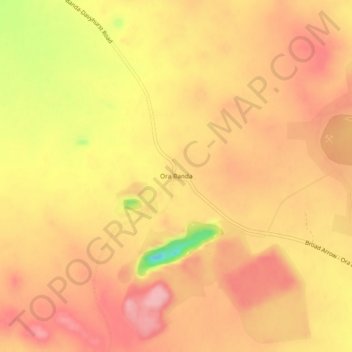
Name: Ora Banda topographic map, elevation, terrain.
Location: Ora Banda, Western Australia, Australia (-30.39622 121.04202 -30.35622 121.08202)
Average elevation: 450 m
Minimum elevation: 362 m
Maximum elevation: 490 m
Western Australia trails, hiking, mountain biking, running and outdoor activities