
Rockleigh topographic map
Interactive map
Click on the map to display elevation.
About this map
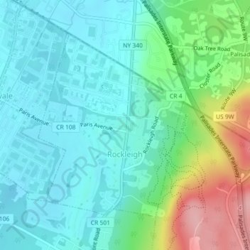
Name: Rockleigh topographic map, elevation, terrain.
Location: Rockleigh, Bergen County, New Jersey, United States (40.99360 -73.94284 41.01330 -73.92208)
Average elevation: 43 m
Minimum elevation: 6 m
Maximum elevation: 151 m