
Zepp topographic map
Interactive map
Click on the map to display elevation.
About this map
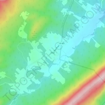
Name: Zepp topographic map, elevation, terrain.
Location: Zepp, Shenandoah County, Virginia, United States of America (38.98677 -78.51779 39.02677 -78.47779)
Average elevation: 383 m
Minimum elevation: 280 m
Maximum elevation: 641 m