
Bridgenorth topographic map
Interactive map
Click on the map to display elevation.
About this map
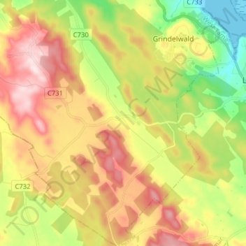
Name: Bridgenorth topographic map, elevation, terrain.
Location: Bridgenorth, West Tamar, Tasmania, Australia (-41.42859 146.89999 -41.33272 147.01539)
Average elevation: 189 m
Minimum elevation: -2 m
Maximum elevation: 393 m