
Grantville topographic map
Interactive map
Click on the map to display elevation.
About this map
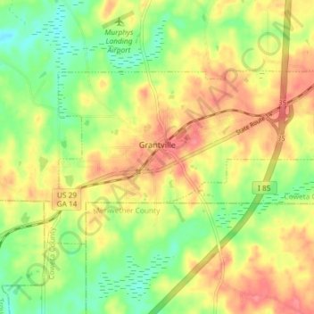
Name: Grantville topographic map, elevation, terrain.
Location: Grantville, Coweta County, Georgia, United States (33.21552 -84.86214 33.24922 -84.78927)
Average elevation: 245 m
Minimum elevation: 209 m
Maximum elevation: 280 m
Other topographic maps
Click on a map to view its topography, its elevation and its terrain.
Senoia
United States > Georgia > Coweta County
Senoia, Coweta County, Georgia, United States
Average elevation: 248 m