
Porcupine Ridge topographic map
Interactive map
Click on the map to display elevation.
About this map
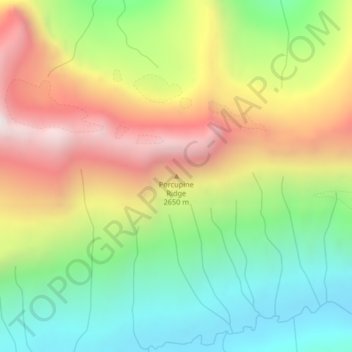
Name: Porcupine Ridge topographic map, elevation, terrain.
Location: Porcupine Ridge, Glacier County, Montana, United States (48.91507 -113.96074 48.91517 -113.96064)
Average elevation: 1,966 m
Minimum elevation: 1,396 m
Maximum elevation: 2,707 m
Other topographic maps
Click on a map to view its topography, its elevation and its terrain.