
Castello topographic map
Interactive map
Click on the map to display elevation.
About this map
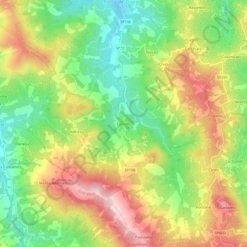
Name: Castello topographic map, elevation, terrain.
Location: Castello, Rocca de' Giorgi, Pavia, Lombardy, Italy (44.93156 9.23364 44.97156 9.27364)
Average elevation: 358 m
Minimum elevation: 217 m
Maximum elevation: 520 m