
Sandringham topographic map
Interactive map
Click on the map to display elevation.
About this map
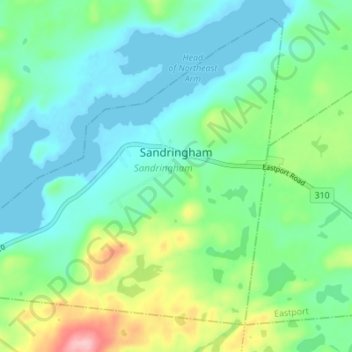
Name: Sandringham topographic map, elevation, terrain.
Location: Sandringham, Newfoundland, Newfoundland and Labrador, Canada (48.64412 -53.87079 48.68247 -53.80226)
Average elevation: 41 m
Minimum elevation: -1 m
Maximum elevation: 160 m