
Needham topographic map
Interactive map
Click on the map to display elevation.
About this map
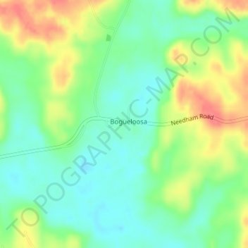
Name: Needham topographic map, elevation, terrain.
Location: Needham, Choctaw County, Alabama, United States of America (31.98193 -88.35011 31.99282 -88.32440)
Average elevation: 62 m
Minimum elevation: 37 m
Maximum elevation: 100 m