
Hepburn topographic map
Interactive map
Click on the map to display elevation.
About this map
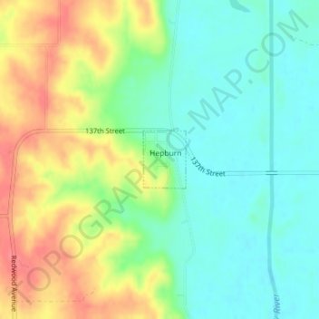
Name: Hepburn topographic map, elevation, terrain.
Location: Hepburn, Page County, Iowa, United States (40.84512 -95.01905 40.85003 -95.01428)
Average elevation: 328 m
Minimum elevation: 300 m
Maximum elevation: 371 m
Other topographic maps
Click on a map to view its topography, its elevation and its terrain.