
Chitrāl topographic map
Interactive map
Click on the map to display elevation.
About this map
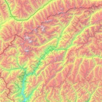
Name: Chitrāl topographic map, elevation, terrain.
Location: Chitrāl, Khyber Pakhtunkhwa, Pakistan (35.55000 71.55000 36.95000 72.95000)
Average elevation: 4,087 m
Minimum elevation: 1,334 m
Maximum elevation: 7,626 m
Other topographic maps
Click on a map to view its topography, its elevation and its terrain.