
Kerkera topographic map
Interactive map
Click on the map to display elevation.
About this map
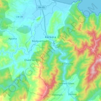
Name: Kerkera topographic map, elevation, terrain.
Location: Kerkera, Tamalous District, Skikda, 21019, Algeria (36.85437 6.54718 36.97451 6.68746)
Average elevation: 158 m
Minimum elevation: -1 m
Maximum elevation: 644 m