
Matara topographic map
Interactive map
Click on the map to display elevation.
About this map
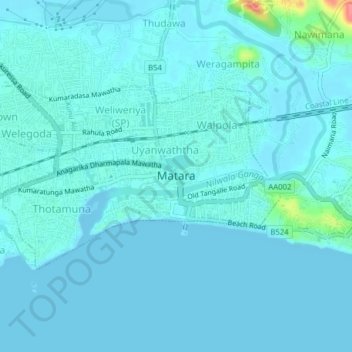
Name: Matara topographic map, elevation, terrain.
Location: Matara, Matara District, Southern Province, 81000, Sri Lanka (5.93739 80.52078 5.95813 80.55998)
Average elevation: 7 m
Minimum elevation: -2 m
Maximum elevation: 79 m