
Yarrawonga topographic map
Interactive map
Click on the map to display elevation.
About this map
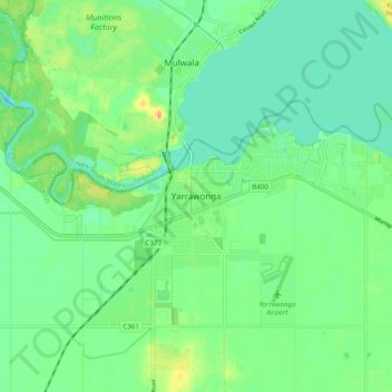
Name: Yarrawonga topographic map, elevation, terrain.
Location: Yarrawonga, Shire of Moira, Victoria, 3730, Australia (-36.05417 145.96635 -35.97417 146.04635)
Average elevation: 128 m
Minimum elevation: 116 m
Maximum elevation: 151 m