
Bayda topographic map
Interactive map
Click on the map to display elevation.
About this map
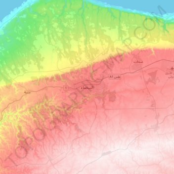
Name: Bayda topographic map, elevation, terrain.
Location: Bayda, Jabal al Akhdar, Libya (32.60095 21.59772 32.92095 21.91772)
Average elevation: 504 m
Minimum elevation: 0 m
Maximum elevation: 878 m